
Odisha Forestry Sector Development Society
Department of Forest, Environment & Climate Change
Goverment of Odisha

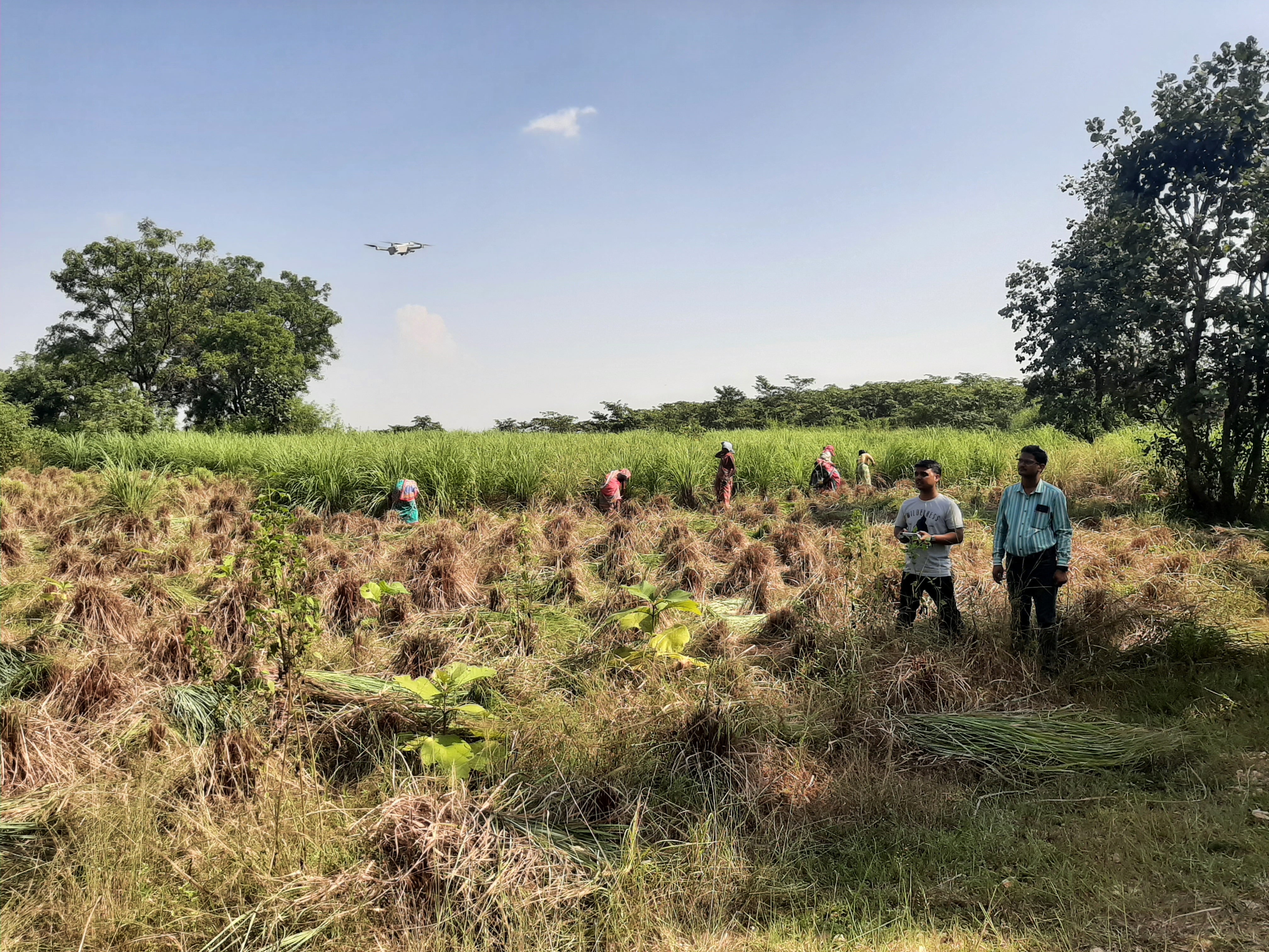
The Geomatics Centre serves as the advanced technological hub of OFSDS. By integrating Remote Sensing (RS) and Geographic Information Systems (GIS), the centre provides real-time spatial data analytics to support strategic decision-making.
Click on any division or search to view comprehensive forest project attributes.